

How to Recover Your Property from Illegal Occupation in Kerala: What to Do and Your Legal Options
Discovering that someone has occupied your land..
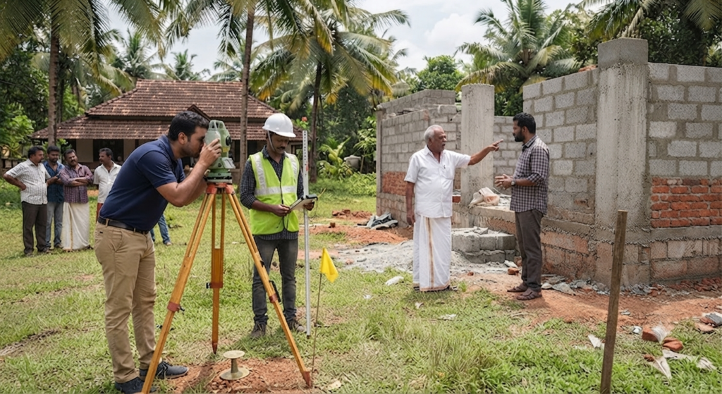
Is Your Land Safe? Why You Cannot Ignore the Kerala Digital Re-survey
Land is one of the most valuable assets a person can own….
ഭൂമി (Plot)വാങ്ങുമ്പോൾ ശ്രദ്ധിക്കേണ്ട Checklist
ഒരു ഭൂമി (Plot) വാങ്ങുന്നത് വീട് പണിയാനുള്ള സ്വപ്നത്തിന്റെ…